White Iron Chain of Lakes Association’s new native names map is now in print. The 11” x17” map features the original Ojibwe names and meanings for the eight lakes in the White Iron Lake chain and others near Ely. The map also features historic images and information about native life on lakes in past centuries.
And, in keeping with WICOLA’s mission, the back of the map has photos and text about key aquatic invasive species that could threaten lakes along with mitigation strategies.
The map was inspired by the Bois Forte Native Names map, released in 2022, that featured sites in the Lake Vermilion Area and was a collaboration between the Ely Folk School and the Bois Forte Band.
The research for that map, done in part by WICOLA board member Paul Schurke, turned up original names for Ely area lakes as well and artist Consie Powell designed and produced the new WICOLA map.
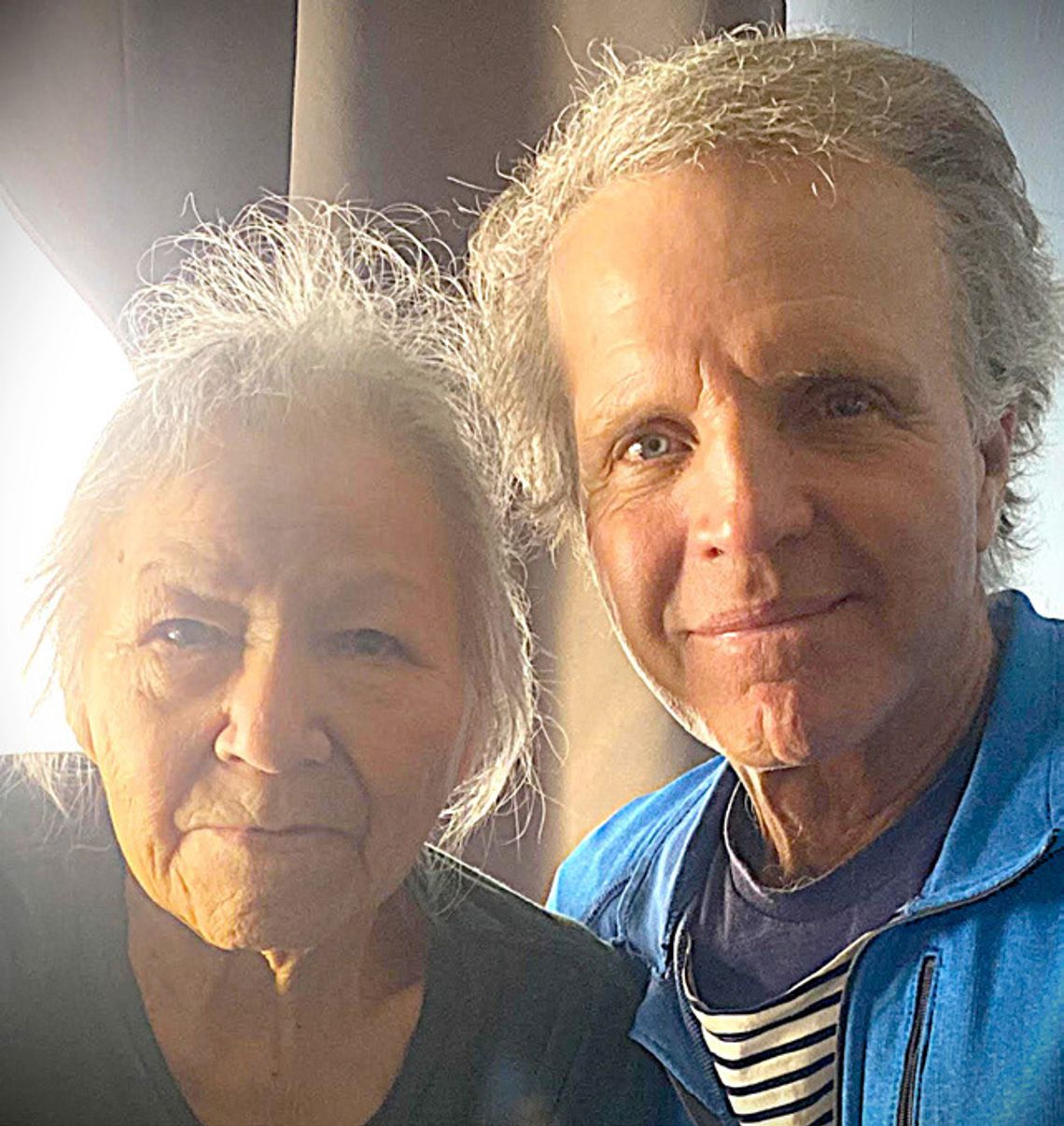
“I love maps,” said Powell. “I love to use them, I love to draw them, and I love what I learn from them. So when Paul asked me if I’d be interested in working on this project, my answer was an immediate ‘Yes!’” Bois Forte elder Karen Drift, one of the tribe’s last fluent Ojibwe speakers, reviewed and approved the WICOLA map. She noted that she grew up in a home where everyone spoke Ojibwa. Through her efforts as a former Head Start teacher and with an Ojibwe language teaching program that she created, she’s hoping native language skills will be revitalized.
“It’s not our language that’s lost, it’s us who are lost,” she said, and added that native names maps will help restore pride in this region’s Ojibwe heritage.
The WICOLA map is available for members and will be distributed from WICOLA booths at various summer events. A large outdoor panel version of the map is also being produced and may be displayed at the new Ely Trail Center that’s nearing completion at the west entrance to town. Similar outdoor panels of the Bois Forte map are on display at the Ely Folk School’s green space and the Y-Store near Lake Vermilion.
Traditionally, the Ojibwe had no written language. Most of the native names on the Bois Forte and WICOLA maps were found in the diaries (archived at the Smithsonian) of a missionary and self-taught linguist Rev. James Gilfillan. He arrived here in 1873, gained the respect of Ojibwe elders (whose language he spoke fluently) and phonetically recorded the native place names.
Many of the current names are direct translations of the original native names, including White Iron: “Wabishka- biwabiko.” Many folks assume it got that name from the wispy white hints of silver ore that prospectors found on its cliffs at a time when iron was king. But the native name long predates the prospecting era -- the natives were well aware of this area’s silver, copper and iron.
Burntside’s name is as long as its translation: “Ga-na-ba-ne-ia-bi-gi-teiaga- mak” which means “lake on which one side has burned,” and which led one wag to note in the Burntside Lodge guest journal 100 years ago, “With a name this long, there isn’t room for many more of these lakes up here.”
In addition to 10 lake names, the WICOLA map includes the native name for Ely: Shagawi-gamag, which means “home place by a narrow oblong lake.” It became Ely in the 1880s to commemorate Samuel Partridge Ely, a Michigan mining captain who financed the mining railway connecting Ely with the Great Lakes. His roots were in the Isle of Eels, a wetlands area in England where eels were sustenance for his ancestors. Though he never visited Ely, he embraced Ojibwe culture and he applied native names to other mining areas he helped develop, including Ontonagon & Ishpeming, MI. His great grandson Courtland Ely visited Ely in 1988 as Grand Marshall of the centennial parade.


