INTRODUCTION
It was 1964. I was “learning the ropes” in my first year of deer hunting. Dad and I had walked out to the northwest corner of our property to check out a well-trodden deer trail. I was copying dad’s “hunter’s squat” while we looked to see if any whitetails had passed through that morning. Dad quietly remarked, “This deer trail follows the old main road between Nashwauk and Balsam.”
I’d never heard of it before.
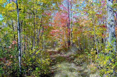
There was no road here. Certainly, no asphalt. Not even old gravel. The deer had packed it down to bare dirt less than a foot wide.
I looked left and right, and with a bit of imagination could see that indeed, there was a corridor forty feet wide of tall dead grass and small brush with no trees as far as I could see in either direction.
I’d walked through there dozens of times and never noticed it. If dad hadn’t pointed it out, I’d have never known.
The road started as a continuation of one of the streets in the city of Nashwauk and wound its way past several small farms until it reached Crooked Lake. From there it cut due north and intersected with what would become CSAH 7 – the Scenic Highway. In those days it stopped at C.V. Smith’s small inn above the dam on Balsam Creek. It was called “Halfway”, and I was aware of it in my youngest years until it burned down in 1958.
“Aunt Nellie used to walk from the old homestead to go to Hibbing Junior College along this road in the 1920’s,” dad told me. While at school, once a month she would hike the 35 miles starting Friday at about noon and arriving home after ten o’clock in the dark. On Sunday she would leave by 6:00 in the morning to be sure she was back in time for classes on Monday.
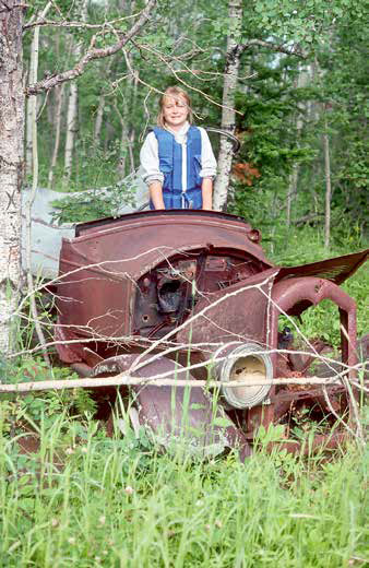
The following autumn I followed as much of the old road as I could. Knowing that it once existed, I found several bits of evidence along its sides. An old chrome bumper had been placed against a tree. A wooden barrel, now filled with leaves and debris, once contained water from a spring that travelers could dip a drink from or fill a bucket to pour into a radiator on an overheated engine. Huge, moss-covered tree trunks lay alongside the old roadbed where they had been moved from once blocking traffic – being either motorized or horse-drawn. A neighbor once found some iron oxen shoes in the duff – a testament to a time when either the road was built or loads of pine logs were transported. An old foundation existed near the “Cedar Swamp” where Packsack Anderson used to live.
Since that time, old roads have always fascinated me.
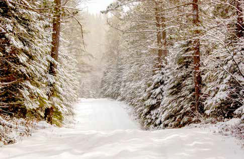
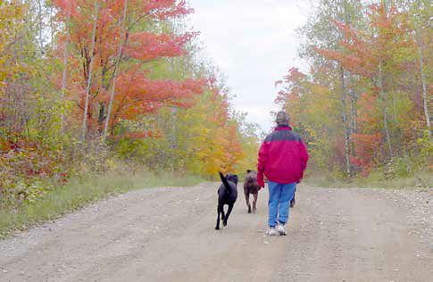
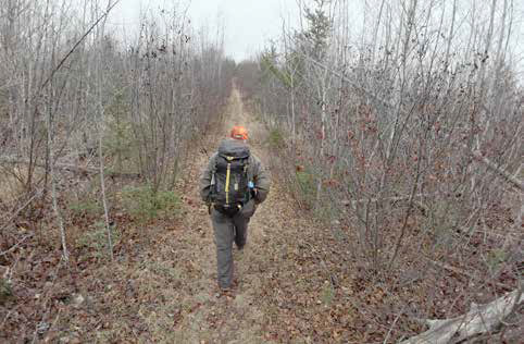
They come in all shapes and sizes. Some are almost invisible, as was the Nashwauk/Balsam thoroughfare. Some may be mere footpaths. Others might be more well defined, easy to follow and inviting in their nature. Some may be in regular use today.
Many were destination routes, going from this city to that town or from a specific farm or property to a main road. It could be that in an earlier life, a particular passage might have been a logging road, or a mining road or a driveway to a resort that no longer exists on a lake that has not been fished for decades.
It’s possible that it was built as a railroad grade with narrow gauge engines and cars whose pieces might still be found in the debitage alongside the man-made hillsides needed to keep the trains from having to climb too steep a hill.
Some might be relatively new, first built only decades ago.
Abandoned or not, some might be 150 years old, established in the early years of Minnesota’s statehood. Others may be centuries, or even millennia in their making, as are the old portages and war roads of our earliest inhabitants that are still used today. Why is this old backroad here? What purpose did it serve?
Who might have passed over it going from one destination to another? How was it made? Was it derived from an old game trail that seconded as the closest or easiest route for people to travel to a destination? Or did it take tons of fill, huge machinery and thousands of man hours to build? Every road or passage has its own story. Our area is rich with history from roads built over literally thousands of years. Look at a Superior Forest map and see the hundreds of roads that surround us. In this series I hope to tell of experiences I’ve had, places I’ve seen, destinations I’ve been, things I’ve found. But I’d like to do a bit more.
If you happen to run into me or would like to contact me by