
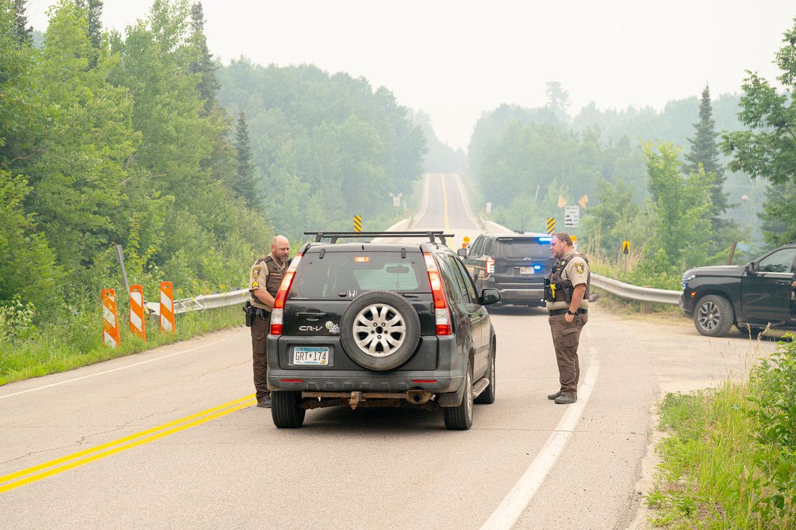
The St. Louis County Sheriff's Office is announcing updates to many of the wildfire evacuation zones.
Three zones are not changing status yet. They include:
- Zones 200 and 201 along the Cloquet Line will remain in "go" evacuation status due to continued risk from the Camp Fire, which is still burning near the roadway.
- Zone 100 along the Echo Trail also remains in "go" evacuation status. Fire traveled through this area and crews continue to clean up and clear trees that burned and pose a safety risk of falling.
All other evacuation zones currently in "go" status, will be improved to "set" status effective at 7 p.m. tonight, Sunday, July 26. However, access will be limited to support continued firefighting operations.
With these zones changing to "set", property owners will be allowed to return to their homes and properties. Returning property owners should be aware that the Echo Trail will remain closed in Zone 100 - between Forest Road 200 and just west of the Moose Loop Western Entrance, so they should enter from the side closest to their property. Additionally, the Echo Trail will close at North Arm Road daily between 9:30 a.m. and 7 p.m. to protect the safety of the many firefighters and equipment still at work in this area. Checkpoints will remain in place and no one other than property owners should travel through this area.
People should remain alert as they return because these zones will now be in "set" status, meaning evacuation orders on short notice are still a possibility should conditions change. Additionally, property owners should be aware that hoses, sprinklers, pumps, water tanks and other firefighting equipment that was placed by firefighters to protect structures should be left in place. This equipment is needed as a precaution should fire activity increase and will be removed once fire operations are completed.
In addition to the "go" evacuation zone changes, all St. Louis County zones that had been in "set" status will be improved to "ready" status; and all zones in "ready" status will no longer have an evacuation status.
The Ready, Set, Go evacuation map can be viewed online at: St Louis County MN Emergency Services Hub. The map will be updated to reflect the zone changes and continued road closures on Sunday at 7 p.m.
As a reminder, most Superior National Forest lands both within and outside the BWCAW affected by wildfires remain temporarily closed to the public for fire suppression activities and to ensure public and firefighter safety. The Forest Service is continually looking at opportunities to modify closure areas as conditions improve and areas are deemed safe for public recreation. People should monitor the Forest Service Alerts webpage and recreation webpage for open and closed areas: https://www.fs.usda.gov/r09/superior/alerts.
For any other questions about fire activity, response or evacuation status, the public can call the Fire Information Line at 218-881-2091.