BREAKING NEWS
- Parts of BWCAW could soon reopen
- Hauschild, Skraba and Chamber to discuss economic Impact of wildfires Friday
- Public hears information on Blueberry Arts Festival cancellation, firefighting efforts Sunday evening
- Birch Landing Art Fair to debut in Babbitt following Blueberry/Art Festival cancellation
- Enhanced burning restrictions to begin due to worsening fire conditions
- Ely Chamber board cancels Blueberry/Art Festival
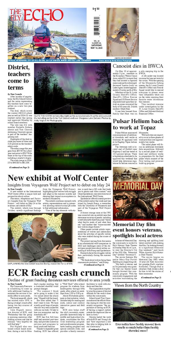
- BWCA closure extended to July 24
- Fire footprints in Northern Minnesota now estimated at 77,000 acres
- Wildfires explode in size as fire response teams pour in from across the nation
- Ely is “open for business”
- Lake County updates evacuation notifications
- Lake County announces new GO evacuation for North Fall Lake, Cedar Lake and Browns Lake
- Fernberg Road evacuation issued Tuesday morning
- Fires, heat close BWCAW
- Cloquet Line evacuation
- Extreme fire danger continues in northern Minnesota
- Forest Service closes BWCA on July 14
- Burning restrictions begin July 12 in Cook, Lake, and northern St. Louis counties
- Superior National Forest issues wildfire closure orders, implements campfire restrictions
- Sheridan traffic control changes start on July 13
- Wilderness Escape breaks ground
- Mail will now leave Ely by 7 a.m. each day
- 20-year mining ban lifted
- Mining ban reversed by House
- Towboat operations can continue in the BWCA following court ruling