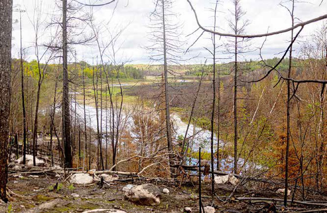
The USFS hosted a media tour on Sept. 9, intending to update on present conditions, educate on the historical aspects of fire in the wilderness, and spend some time explaining why decisions were made as they were.
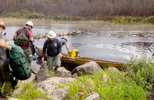
Originally, the plan was to paddle up to Pipestone Bay to see some results of the Camp Fire, but windy conditions forced a change of location to Sioux River North.
Carl Skustad of the Kawishiwi Ranger District provided an introduction and overview, and moderated questions from the media during the day.
All portions of the fires – Thumb, Bear Trap, Camp and Knife are presently contained. They are now classified as “controlled,” meaning that while they are not spreading, they still contain hot spots within the soil, burned tree stumps, and peat material that could flare up later.
Portage crews and daily aerial flights map hot spots as they show up and monitor them. Many of these could remain viable until winter snows extinguish them before they can be declared “out.”
Portage crews are out surveying routes and campsites, clearing trees both fallen and standing that are deemed dangerous.
They are also taking an inventory of which sites will need new latrines, as well as erosion-prevention work at campsites and on portages.
About 150 campsites were affected, of which 100 remain closed at this time.
Travelers’ safety is the number one concern. Routes and campsites that go through the Bear Trap and Thumb fire areas are likely to remain closed until next summer, when restoration work is complete.
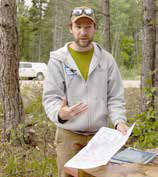
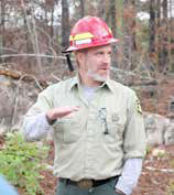
Several experts in the group gave historical information about this area.
Several acres burn each year, and looking back suggests that the entire wilderness of northeast Minnesota burns every 300-year period.
The term “mosaic” came up often in discussions and was applied to this concept.
Lane Johnson showed a map of known burns over the last two to three centuries, illustrating multiple smaller burns that eventually matched borders to cover the entire area.
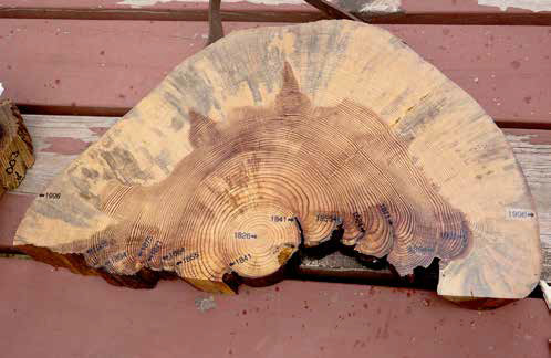
He also showed what are called “cookies”– cross-section slices of tree trunks from the Boundary Waters showing growth rings and evidence of fire every 10 to 20 years until 1905. There is then a 91-year gap until 1996 in some of these cookies.
Luck of the draw and, in some cases, fire suppression caused the abnormally long gap.
During this time, fallen trees, growth of mid-story fuels such as balsam fir, events such as the 1999 blowdown, and infestations such as spruce budworm allow for large amounts of burnable matter to cover the forest floor. Larger and more intense burns then become possible.
This summer’s fires were larger than average. Still, when compared to the Pagami Fire and Greenwood Fire, there were some differences. Fewer acres were burned and fewer acres burned as hot as the other two.
“Mosaic” came up again as this summer’s fires had very hot areas, but much was burned at a lower intensity. Parts of the forest were scorched while others burned less intensely, leaving trees such as red pine and white pine scarred but not killed.
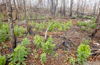
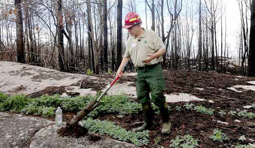
Jeff Kroll showed examples of where intense fire burned through duff and organic matter to leave only minerals or bare rock behind. In many other areas soil was at least partially preserved, and regrowth has already started vigorously.
Weather and soil moisture played roles that made this year’s fires a problem.
Combined with an abnormal “heat dome” starting on July 7, there were several days of heavy southerly winds and a line of lightning strikes reaching from central Minnesota northeast to southern Canada, proving to be perfect conditions for creating the fires.
While soil conditions were dry because of the drought, there was more moisture in the soil than in either the Pagami or Greenwood fires.
A return to normal weather patterns after two weeks worked in their favor, helping them gain the upper hand and eventually maintain fire lines.
The respite gave crews time to advance fire breaks and add sprinkler systems to buildings potentially in harm’s way.
They admittedly dodged a couple of bullets during this time.
Two fires on the west end started while they were fully extended with personnel and equipment. One had them coordinating with the St. Louis County Sheriff’s Department for a possible evacuation of Crane Lake. Fortunately, these fizzled out mostly on their own.
Lee Johnson added historical context and some ecology lessons.
As the archeologist for the Superior National Forest, he addressed cultural issues as well as potential problems going forward – particularly regarding invasives.
The bare soil is highly receptive to new species introduced by future travelers, and continued observations over the next few years will help minimize those concerns in affected areas.
Drew Stroberg was tasked with explaining the factors behind the USFS’s decisions.
Of particular concern was the closing of the entire BWCA. Factors included ongoing weather conditions, predictions and fire advancements.
Heavy smoke prevented them from flying in some of those early days, so they couldn’t know exactly where the fires were going.
The Boundary Waters is unique from other wilderness- designated parks.
In most other areas, entry means you are restricted to a particular trail and campsites.
In the BWCA, once a party goes in at an entry point, they can move and camp in any direction.
With the possibility of thousands of visitors on a particular day, keeping track of and maintaining the safety of all travelers is difficult.
He was frank and honest in asking whether “we could have done some things differently?” Yes.
Do they feel comfortable with how everything turned out considering the circumstances? Yes.
He stressed that once they had a handle on most of the fires and weather patterns returned to more normal conditions, they worked hard to open entry points and campsites as soon as possible, based on safety factors for people in the wilderness.
This fall, they will convene a follow-up conference to review what went right and what went wrong so they can be better prepared the next time fires break out.