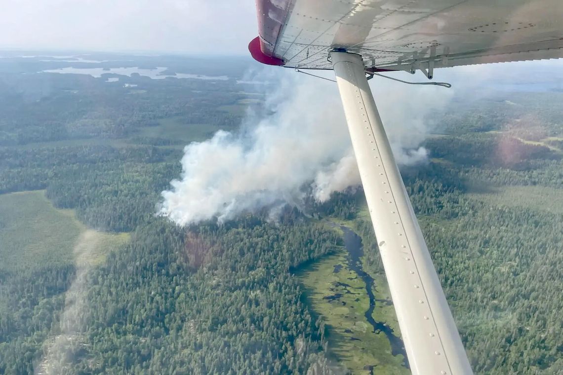
The U.S. Forest Service plans to continue fall prescribed fire/pile burning operations soon on the western side– Kawishiwi, LaCroix, and Laurentian Ranger Districts, pending all required approvals.
The Forest Service estimates it will continue these operations through December, as weather conditions allow, for a total of around 373 acres.
Prescribed fire is active forest management that reduces overgrown vegetation to help protect local communities, infrastructure and natural resources from wildfires. Prescribed fire pile burning on the western side of the Superior National Forest will begin when conditions are favorable.
Areas include:
Kawishiwi Ranger District:
• North Grassy brush disposal site–T64N, R12W, Sec. 22 (approx. one acre)
• North Arm Pit–T64N, R12W, Sec. 19 (approx. one acre)
• Twin Point–T63N, R13W, Sec. 12 (57 acres)
• West Twin Point–T63N, R13W, Sec. 11 (34 acres)
• Chant Point–T63N, R13W, Sec. 14 (18 acres)
• Twin Shoreline–T63N, R13W, Sec. 2 (14 acres)
• Twin South–T63N, R13W, Sec. 11, 12 (48 acres)
• Twins–T63N, R13W, Sec. 1, 12 (31 acres)
• Crab Creek East–T63N, R13W, Sec. 19 (20 acres)
• Cool Crab Shoreline–T63N, R13W, Sec. 17 (10 acres)
• Halfway–T62N, R11W, Sec. 33 (three acres)
• Hunch Creek–T64N, R13W, Sec. 13 (19 acres)
• Kaw. Ranger District–T63N, R12W, Sec. 26/35 (five acres)
• West Minister Units 1A–T63N, R13W, Sec. 12 (two acres)
• Moose Lake brush disposal site–T64N, R09W, Sec. 32 (approx.1 acre)
• Ojibway brush disposal site–T63N, R10W, Sec. 11 (approx.1 acre)
• Bandana brush disposal site–T60N, R10W, Sec. 25 (approx.1 acre)
• Fernberg weather station and air quality site–T63N, R9W, Sec 8 (2 acres)
Laurentian Ranger District:
• Fourteen brush disposal site–T60N, R19W, Sec. 22, 23 (approx.1 acre)
Camphouse salvage–T56N, R12W, Sec 13, 23,24, 25 (98 acres)
• Highway 2 brush disposal site–T56N, R11W, Sec. 13 NE/SE (approx.1 acre)
Watch for warning signs along roads near prescribed fire areas before and during burns.
For safety when driving, slow down and turn on your headlights if you encounter smoke and watch for firefighters.
Residents may experience smoke during and shortly after the prescribed fires.
Forest fire staff evaluate weather conditions before beginning operations. If conditions do not align with objectives, scheduled prescribed fire activities may be canceled.